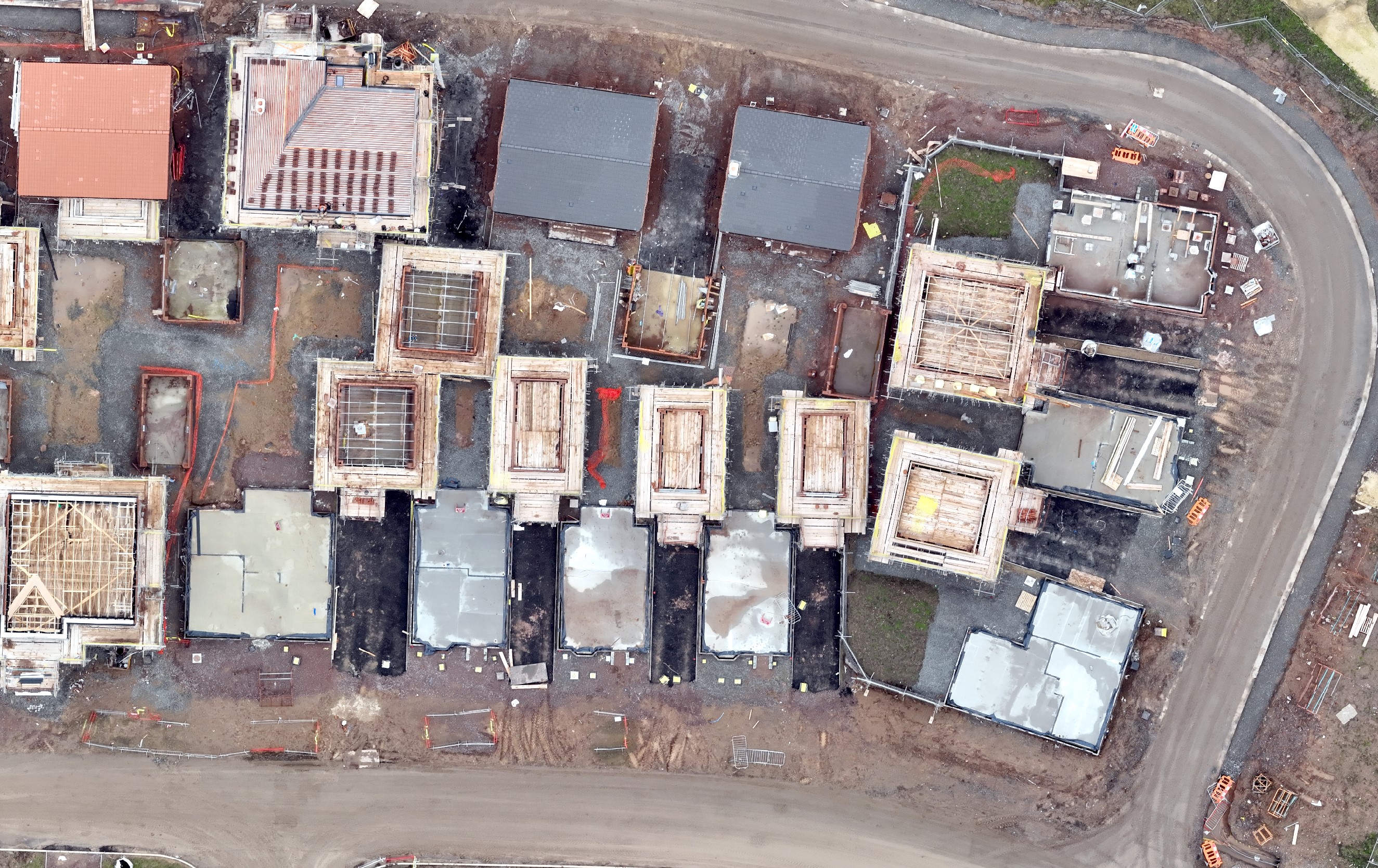
The majority of my work is centred around the construction sector and agriculture. The tests discussed below relate to a residential development site. The data was processed in PiX4D or ESRI's Drone 2 Map to produce a point cloud, orthomosaic and DSM.
For the construction sites most clients are using the outputs to either monitor construction progress or to undertake cut & fill and volumetric analysis. I am therefore looking to find the optimum height to collect the data which provides sufficient detail and also allowing the efficient colection of the data. Clearly the lower the flight the longer the drone is going to take. In addition a lower flight will collect a lot more images which therefore increases processing time. For this test I am reviewing the orthomosaics but from previous work the outcomes will be equally applicable to the point cloud data.
To undertake the tests I set up missions to fly the site at 70m, 60m, 50m and 40m above the take off point. I used the same settings for every flight with front overlap set at 80% and side at 75% and the speed of the drone was c15mph. The camera was set to Auto. On the camera settings I have been used to setting the camera manually with the Phantom but was advised to try Auto mode. I was hesitant but came away very impressed on the quality of the images captured. I used RTK for all the flights.
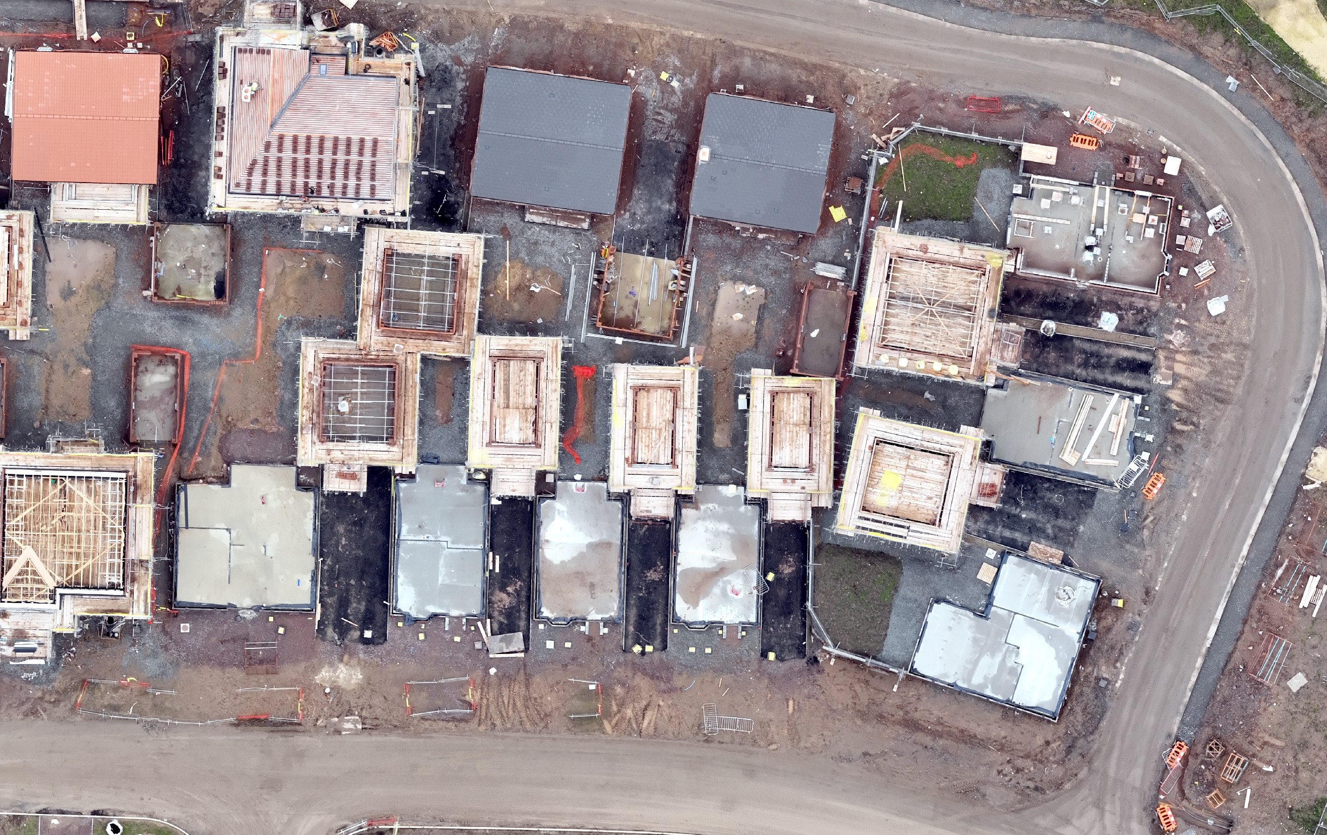
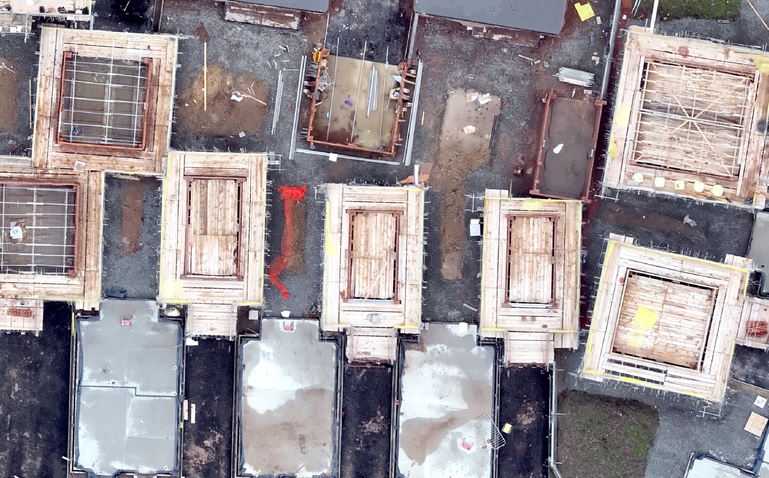
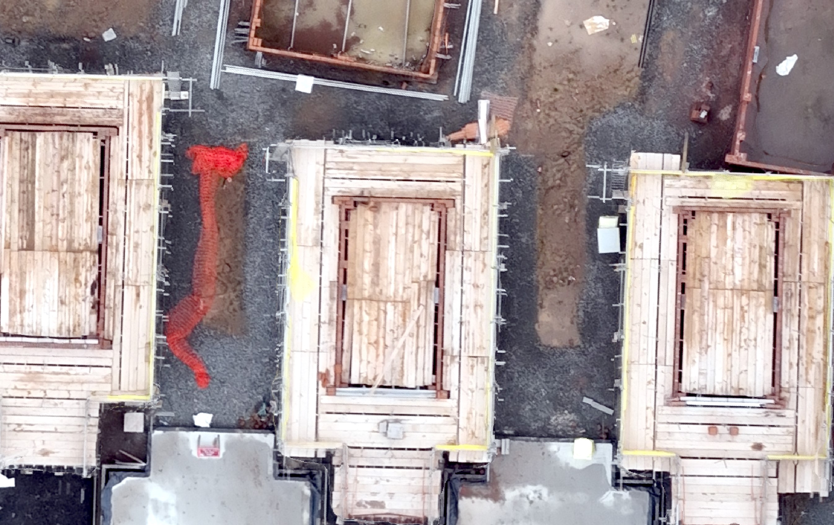
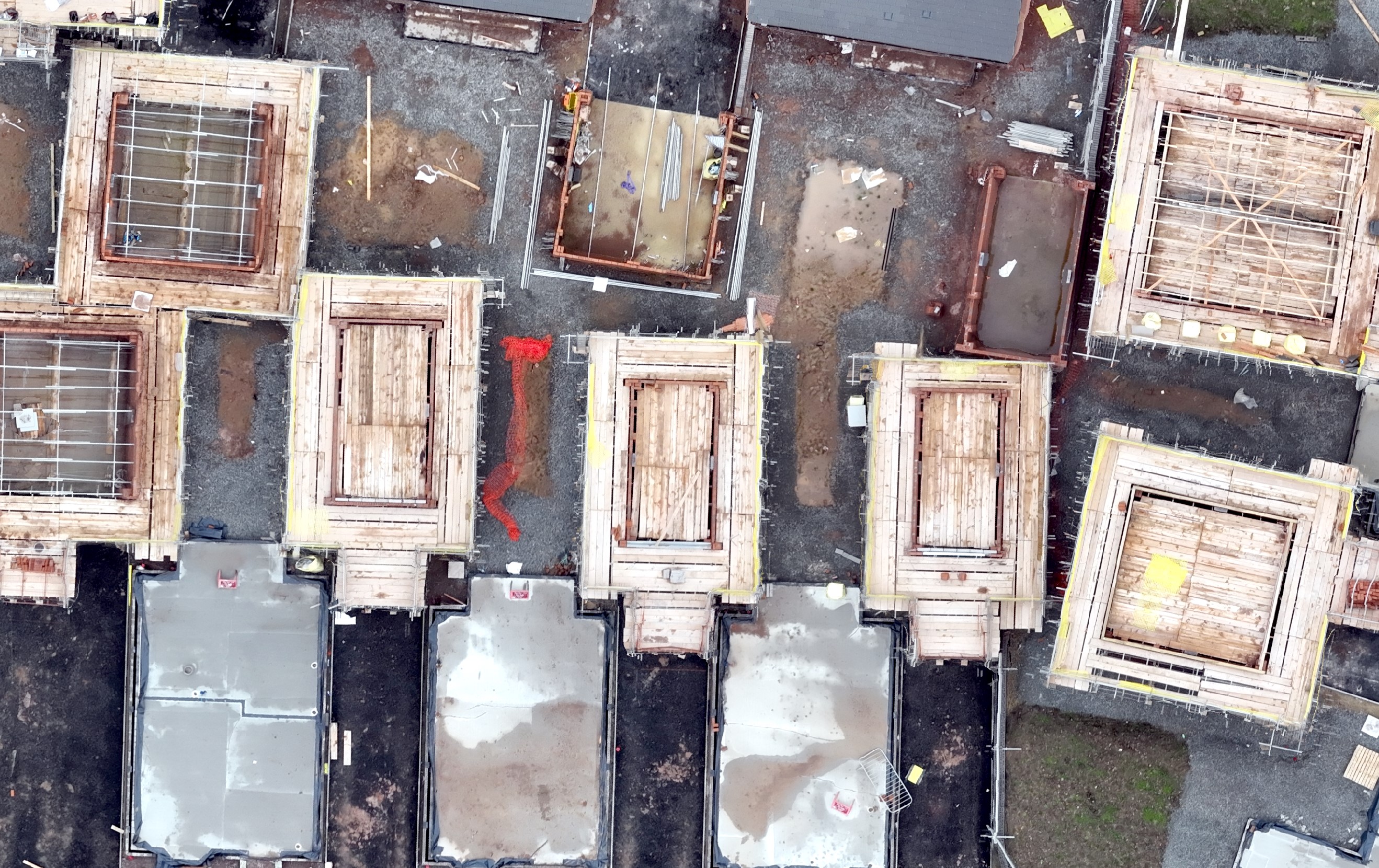
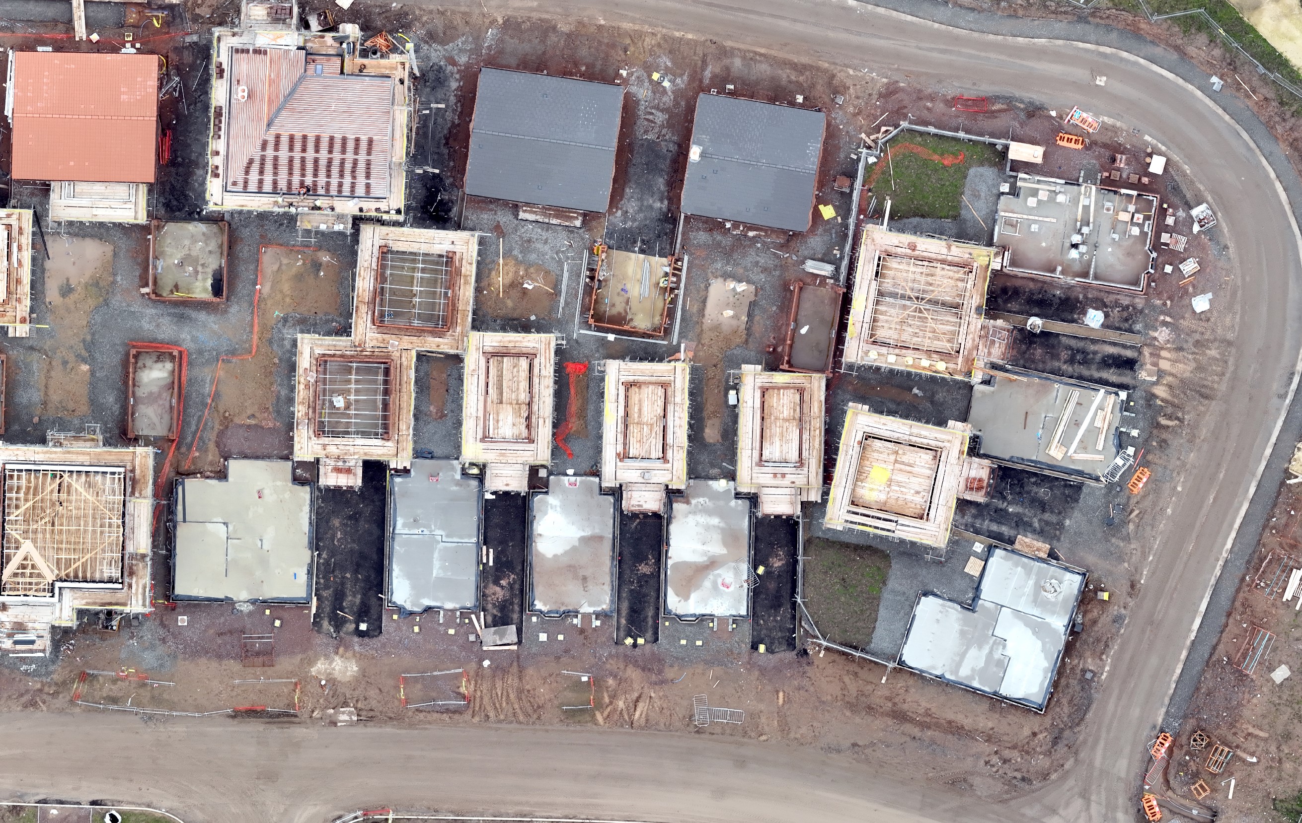
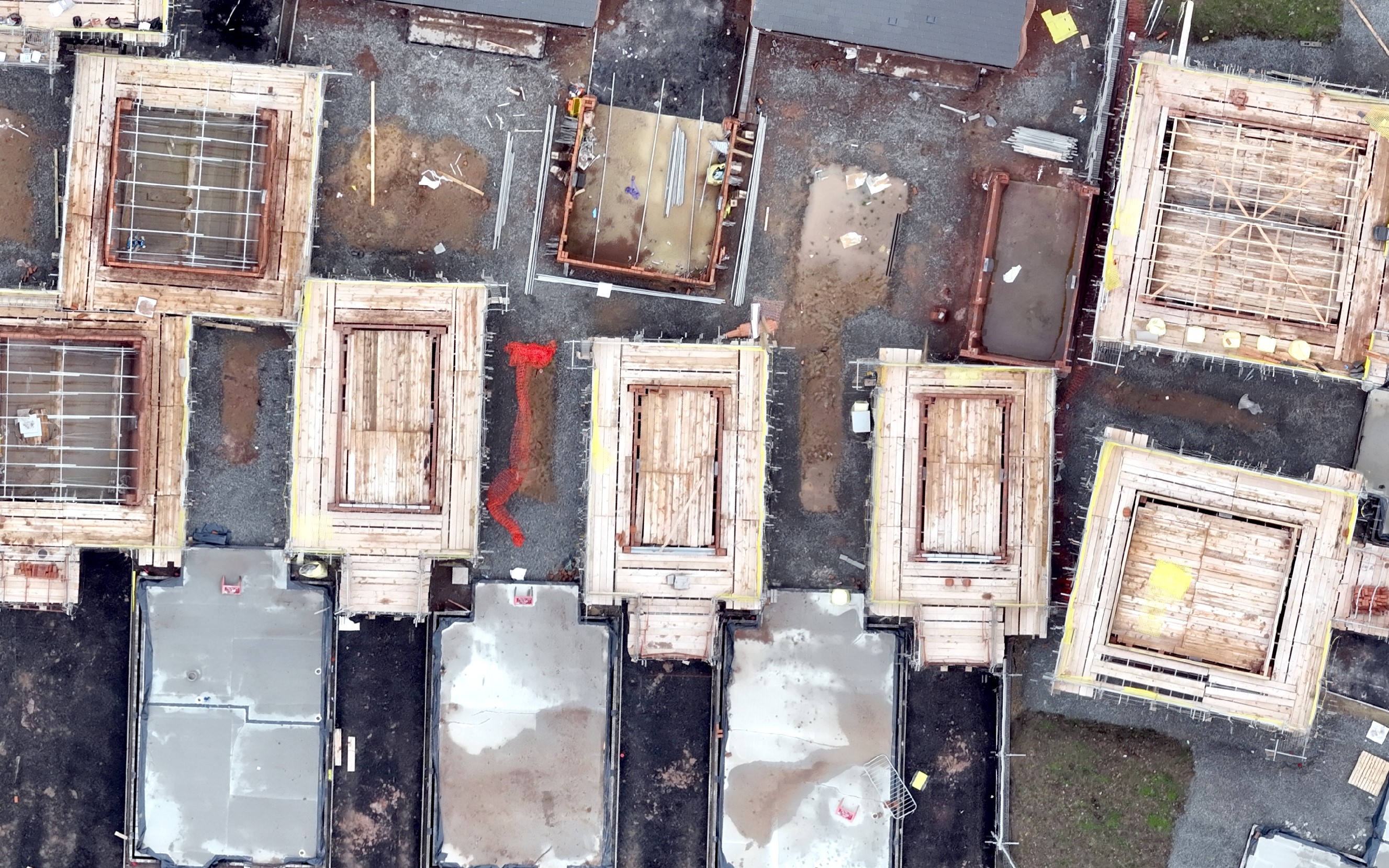
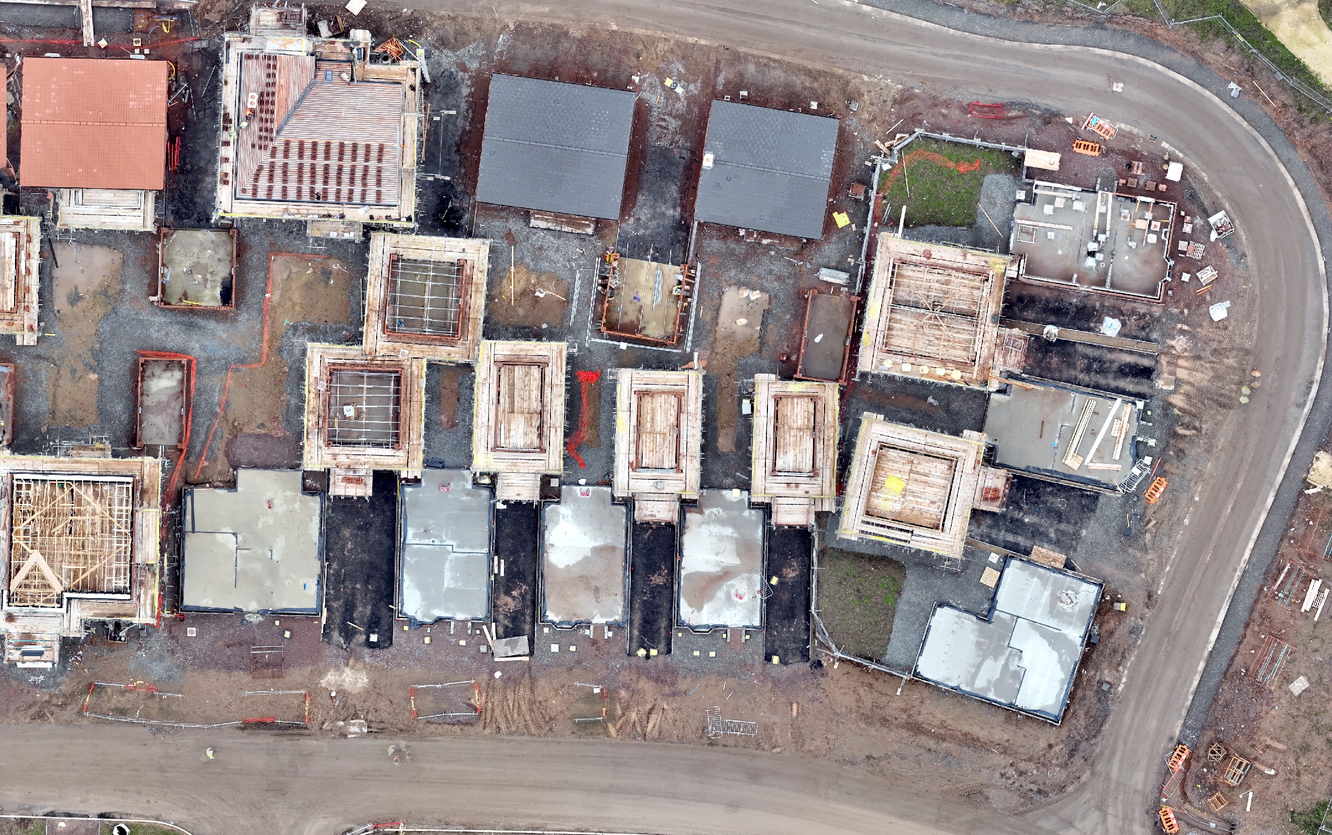
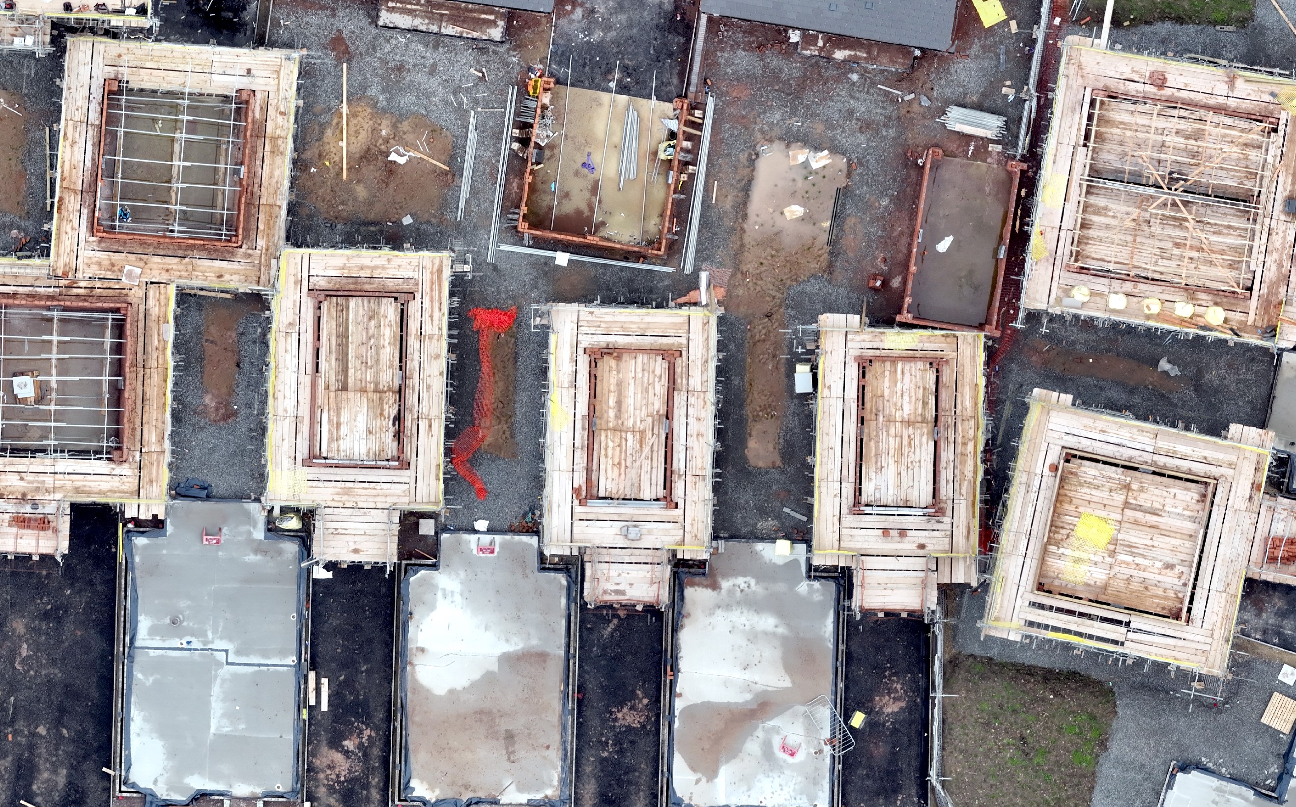
I have set out below extracts of the orthomosaic for each height the drone was flown and the output shown at various scales being 1:200, 1:100 and 1:50.
First set is the 70m flight with the scale from left to right being 1:200, 1:100 and 1:50.
Second set is the 60m flight with the scale from left to right being 1:200, 1:100 and 1:50.
Third set is the 50m flight with the scale from left to right being 1:200, 1:100 and 1:50.
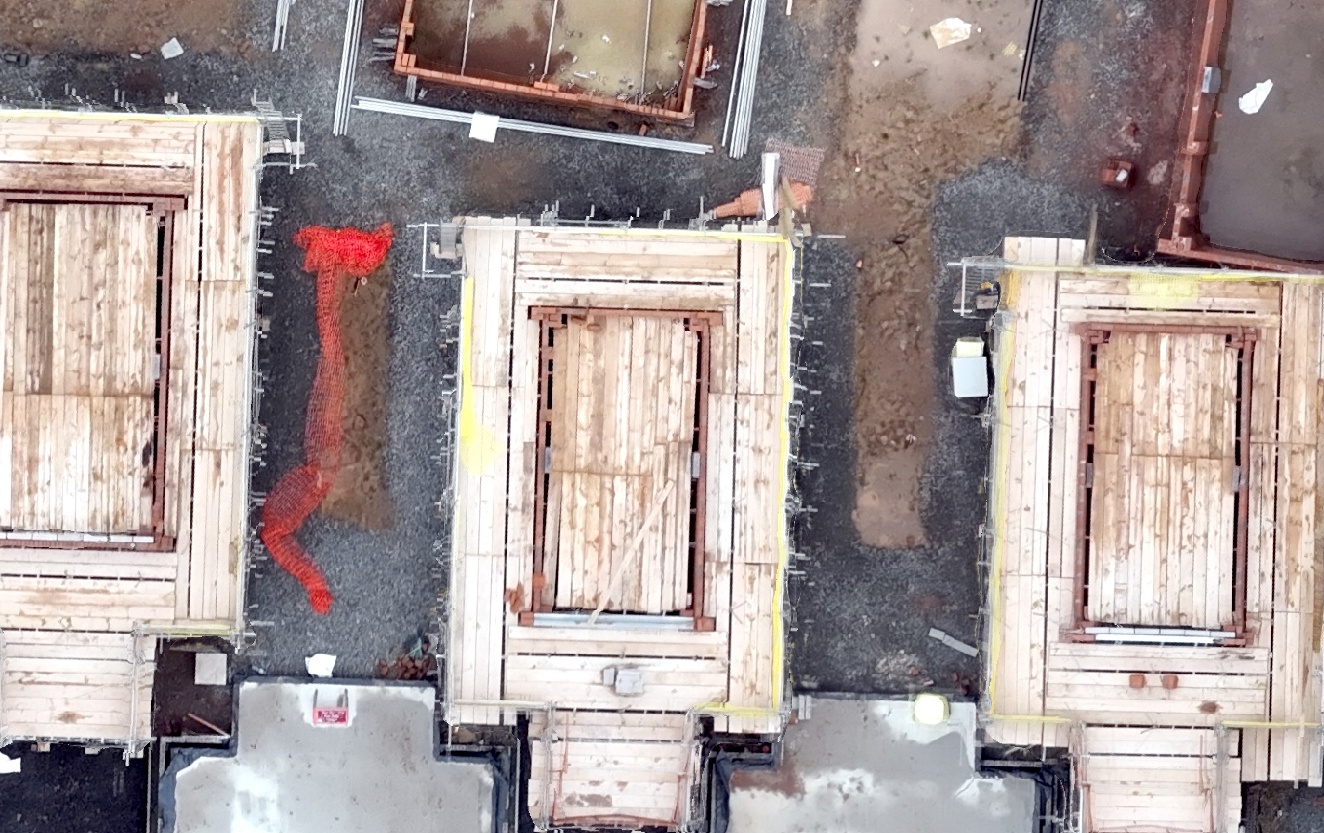
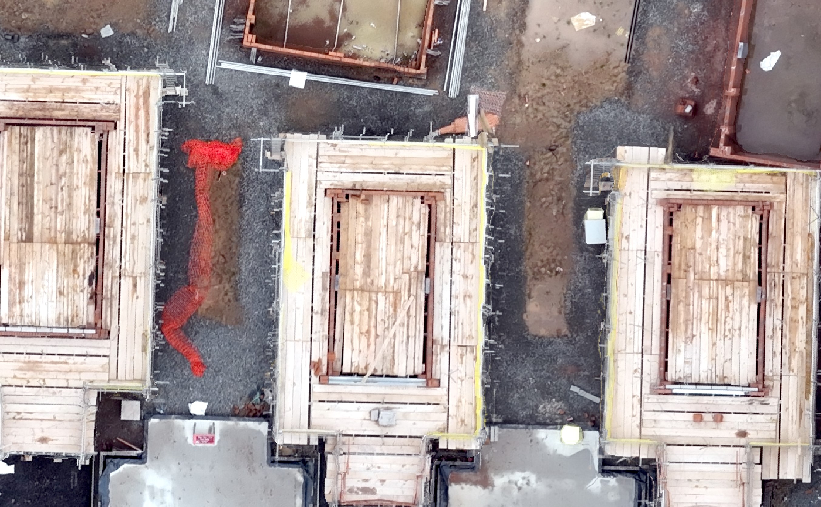
Forth set is the 40m flight with the scale from left to right being 1:200, 1:100 and 1:50.
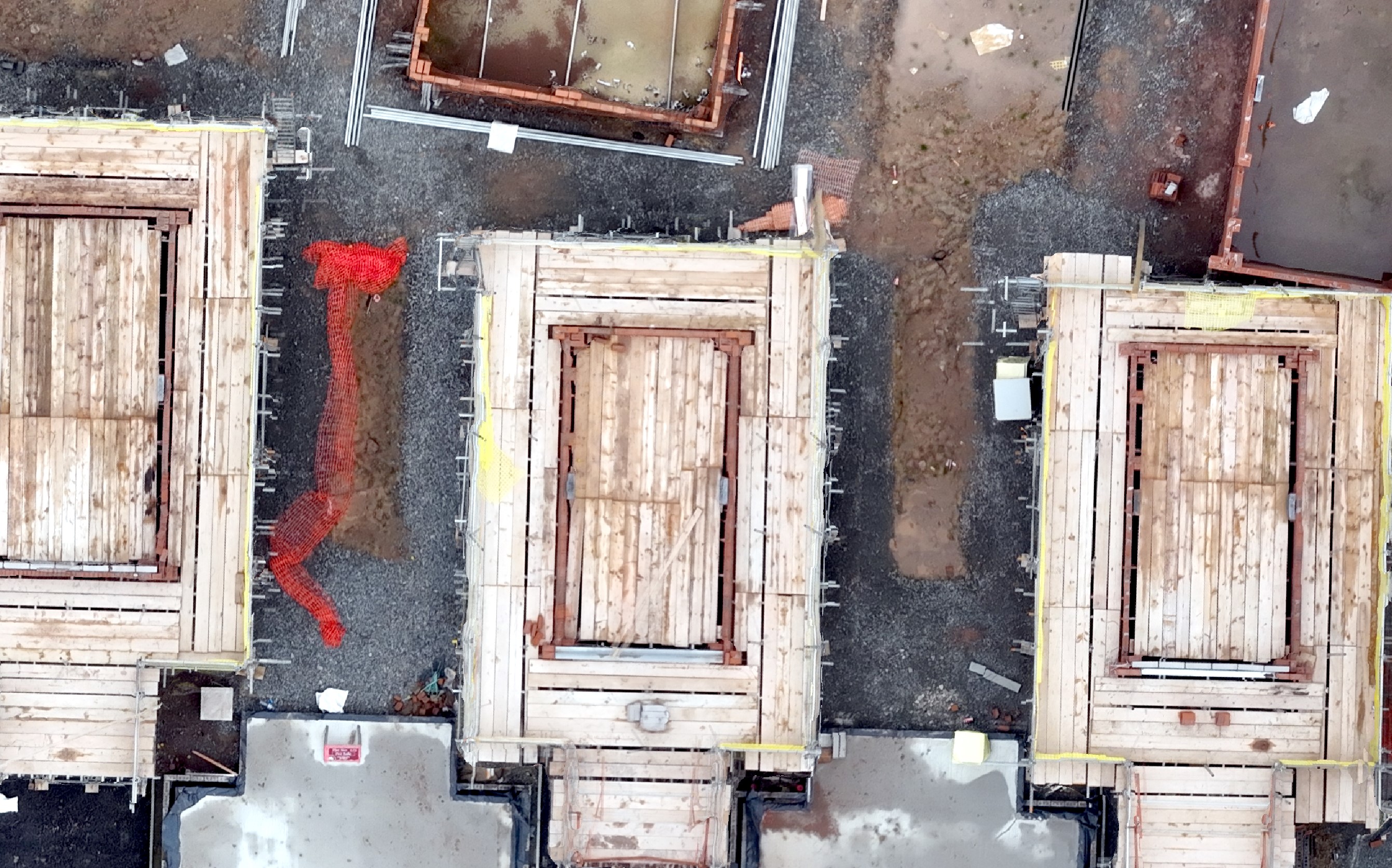
I guess many people will look at these images and think I have shown 4 identical sets, I can assure you they are the correct images for each height. What is does demonstrate is the clarity of the imagery captured at 70m is not much less than the 40m flight. I have set out below two images, one for the 70m flight at 1:50 followed 40m at 1:50 on the right. When comparing the differences a good place to check is the scaffolding boards, you will see that the definition is a bit sharper. A futher factor to bear in mind that it would be unusual to view this data t 1:50, most of the time you would be zooming into about 1:200 or if you are looking at the overall site more like 1:1250.
The conclusion I have arrived at is that 60m flights will be ideal providing slightly more clarity than 70m whilst keeping flight times much shorter than a 40m flight. The difference is about a 35% time saving. My main clients have also seen the outputs and are happy with the 60m outputs. Interestingly I also flew the Phantom at 60m. As stated above processing times for producing the outputs is much lower than the 40m flight simply because there are fewer images to process. A further factor is the safety of the flights and separation distances. Whilst on construction sites eveyone working there is under my control there maybe visitors/delivery drivers who aren't or haven't been briefed. Flying at 60m maintains a 10m margin over the CAA requirement to maintain 50m from uninvolved people.
The M3M has so far impressed me. I probably stayed with the Phantom 4 Pro for a bit too long but it was an extremely relaible workhorse. Data collect is going to be much more efficient. You will note that I haven't mentioned GCP's or controls. For the construction sites I fly on a regular basis I set up permanent GCP's and CP's which does save significant time. I do capture additional CP's as the site progresses so that I can maintain checks. For agricutural work in light of the accuracy required (ie lower) I could just rely on the RTK. Out of habit though I would still capture control points for peace of mind.